We are always looking for fun ideas and we are excited to have stumbles upon this one.
If you are looking for a fun and easy way to learn more about a North America map for kids to draw, then you are in the right place, at the right time.
We have been learning beyond the typical North America Geography lessons (learning about the location and some names of countries and capitals, etc).
Come and take a look at these amazing Geography activities for kids where I show you how my kids learned to draw Canada from scratch and how your kids can, too.
And don’t forget to check out our other Geography activity ideas and printables in our handy dandy hub!

Learn Geography while Having Fun
We will be drawing North and South America with my kids in Geography.
It is a lot of fun! But today, we will focus on one part of the map of North America for kids.
North America includes Canada, the United States and Mexico.
We will discuss Central America and South America (also known as Latin America) in a future blog post.
The single continent that we will be drawing from scratch, step by step, the wonderful and HUGE country of Canada.
We will learn about provinces and territories, etc.
It is fun to watch the kids learn that Vancouver is by the Pacific Ocean, that Quebec is closer to the Atlantic Ocean and that the United States is directly south of the Canadian border.

Awesome Geography Ideas
We are making our way through drawing the continents.
First, we drew them all (here) and then we started to draw one by one with a lot more detail.
Here is what our Geography looks like:
- Geography song (relating to the continent we are learning about at that time)
- Look at the poster map and find the continent we are focusing on
- Draw part of the continent that we are learning about, step by step
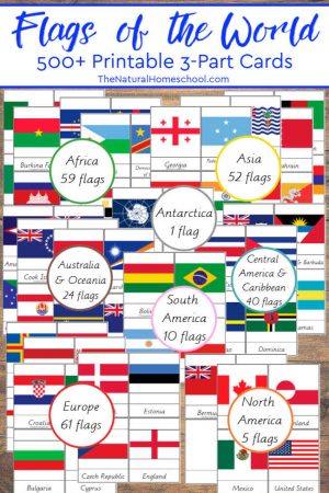
- We use one of our printable bundles to learn about some flags of the world that belong to the continent that we are learning about
Let’s talk about each step in more detail. shall we?
This is what we use:
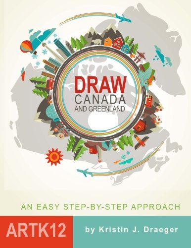
World Geography Songs with Audio CD Draw Canada and Greenland
 Post-it Super Sticky Portable Tabletop Easel Pad
1 Geography Songs
I always like to make a Geography game about the continents of the world with my kids. One of the great games that I found is actually a book with Geography songs for kids!
It comes with a book with coloring pages, the song lyrics, a giant poster map with some of the song lyrics and the CD with all of the songs.
There is a song for every continent and different areas on the world. This makes it easier to memorize and to remember by heart. We like them!

2 Map of the World Continents for Kids
The Geography songs book and CD also comes with a giant poster with the map of the world and some of the lyrics of the songs.
I placed the poster on the wall so we can refer to it when we go over our lessons.
It is a great reminder of what we have learned in the past, what we are currently learning and what we still have to learn.
We look at the poster, we find the continent on the poster, we try to name things that we know about the area and more.
It is almost like doing a recon of the territory we’re exploring!

3 Draw the 7 Continents!
Since we are working on our North America Geography activities right now, we are going to show you how we drew Canada and what we learned about it.
If you feel so inclined, you can extend your studies and learn about things like currency, typical food, animals that migrate in Canada and more!
But for now, let’s look at the drawing part!
It is easier than you will ever believe it! The image below was drawn by my 9-year old son.
The book is broken up into simple, step by step instructions. You can’t go wrong!
I stand up by the whiteboard, look at the book and read the instructions out loud, while I do the drawing.
The book can be about 60-80 pages long, so I break it up into sessions of 5-10 pages (or 5-10 steps).
It makes the lessons simpler and more palatable, over the overwhelming thought of drawing the whole thing.
And it is also a lot of fun to see how the continent takes shape as the lessons got by. We love it!
You can see above that we use a dry erase board, but the other side of the board is actually a pad of giant post-it pages.
You can opt to use those, if you want to save those for memories’ sake of for reviews.
Right now, I have my kids draw theirs on 2 taped letter-sized sheets, but the next time we cycle through them, we will most definitely have fun with the post it sheets.

4 Geography Printables & More
So, besides the Geography songs and drawing the maps, we also like to take the Geography printables that we have in our shop.
Our favorite is the set with 500+ flags of the world 3-part cards.
We also love to use Little Passports (World Edition) in our Geography lessons.
We get a package every month that focuses on a different country in the world.
We love finding that country on the map and also finding which continent that it is in on the map.
I think it brings a lot of different connections together into one place.

Thank you for checking out our wonderful activity! You might also like:
How to Make Learning Fun Again with the Best Montessori Geography Printables
Learn Geography while Having Fun by Drawing the 7 Continents in the World
Montessori Geography Lessons for Kids
Geography Activities for Kids (12 Printable Sets)
Montessori Geography Printables & Lessons ~ 7 Continents of the World Bins
Geography Lesson Plans ~ Printable Maps of North America for Kids
____________________________________________________________________________________________ ____________________________________________________________________________________________
 Sale!
Sale!
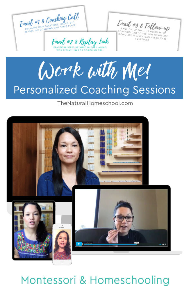
Work with Me! Personalized Coaching Sessions (Montessori & Homeschool)
$75.00 $50.00
Do you need homeschool or Montessori at home coaching?
We customize a package that will help YOU the most, but this is our most popular package:
Take advantage of my 15 years of experience in the Montessori philosophy and 10 years of homeschooling.
1 A 30-minute video (or phone) call via Zoom for a 100% personalized “in-person” coaching
It will be recorded and the link will be sent via email within 24 hours for further review.
Once you purchase the coaching session HERE, I will contact you to set up a time that works for both of us.
2 An email prior to coaching call detailing what questions, concerns, issues need to be addressed.
This helps with maximizing face-to-face time for actual practical implementation tips.
3 Any prior recommendations from my online shop (ebooks, etc,) are included
4 A follow-up email within 24 hours of the video call, detailing what was discussed, steps to take, any additional recommendations from my online shop (again, also included in the package).
5 A second follow-up email/contact 1-2 weeks after the video coaching call to see how client is progressing and to see if another video call needs to be scheduled






Leave a Reply